基于词包模型的遥感影像场景分类研究毕业论文
2020-07-15 21:10:24
摘 要
遥感场景是指遥感图像上的所有地物类以及它们之间的相互作用关系的综合体。本文通过构建词包模型来对遥感场景中的图像进行分类。在训练样本一定的情况下,通过改进词包模型不同特征的组合方式来增加分类精度,致力于以一种简单、高效的模型,实现对遥感图像的精确分类,具体内容如下:
(1)构建了不同地物类单特征词包模型,比较了各类单特征词包模型的分类精度,不同类型的地物对不同特征的敏感程度并不相同,因此本文在基于实验基础上,得出了一定的结论。
(2)讨论了聚类单词表的规模对分类结果精度的影响。在提取出点特征的基础上,以不同规模的单词表对点特征进行聚类并比较精度,得到了一定结论。
(3)在单特征词包分类基础上,对这些词包按不同比例进行了融合,并做了大量实验,得出在本文所提取的特征条件下对于提高分类精度的最佳特征组合比例。
本文利用融合词包模型的分类方法与单一词包模型分类结果精度做了比较,得出较好的分类精度,更加适合与遥感场景中的分类使用。
关键词:遥感场景 词包模型 SIFT算法 融合词包 场景分类
Research on scene classification of remote sensing image based on
word bag model
ABSTRACT
The remote sensing scene refers to a complex of all the physical features on the remote sensing image and their interactions. This article classifies the images in the remote sensing scene by constructing a word-package model. In the case of a certain training sample, by improving the combination of different characteristics of the word-package model to increase the classification accuracy, we are committed to a precise, efficient model for the precise classification of remote sensing images. The specific content is as follows:
(1) Constructing single-character lexical package models for different terrestrial objects and comparing the classification accuracy of various single-character lexical package models. The sensitivity of different types of features to different features is not the same, so this article is based on experiments. , reached a certain conclusion.
(2) Discusses the impact of the scale of the clustering word list on the accuracy of the classification results. On the basis of the extraction of the point features, clustering and comparison of the point features with word lists of different scales are used to obtain a certain conclusion.
(3) On the basis of classification of single feature word packages, these word packages were fused in different proportions and a large number of experiments were done. The optimal feature combination ratio for improving the classification accuracy under the feature conditions extracted in this paper was obtained.
In this paper, the classification method of fusion word package model is compared with the accuracy of single-packet model classification results, and good classification accuracy is obtained, which is more suitable for classification and use in remote sensing scenes.
Key Words: remote sensing scene word packet model SIFT algorithm fusion word package scene classification
目录
摘 要 I
ABSTRACT II
目录 Ⅲ
第一章 引言 1
1.1研究背景及意义 1
1.2 国内外研究现状 2
1.3研究内容和技术路线 3
第二章 遥感影像词包模型构建 5
2.1 数据准备 5
2.2彩色图像转灰度图 6
2.3 SIFT特征点 7
2.3.1 SIFT特性 7
2.3.2 SIFT原理 8
2.3.3 特征点提取 15
2.4 直线特征 16
2.4.1 Canny算法 17
2.4.2 Hough变换 19
2.4.3 峰值选择 19
2.4.4 直线的提取 20
2.5 点和直线特征的描述 22
2.5.1 点特征的描述 22
2.5.2 直线特征的描述 22
2.6 特征值的k-means 聚类 23
2.6.1 K-means算法原理 23
2.6.2 K-means 算法原理 24
2.6.3 不同特征的聚类 24
2.7 词包模型 26
2.7.1词包模型原理 26
2.7.2词包模型的生成 28
2.7 本章小结 30
第三章 基于词包模型的遥感场景分类 31
3.1 SVM分类器原理 31
3.2 SVM分类器的运用与实践 31
3.3 实验结果及分析 32
3.3.1 不同K值的SIFT特征点分类结果分析 32
3.3.2 直线长度和角度分类结果分析 33
3.3.3 混合词包分类结果分析 34
3.4 本章小结 35
第四章 总结与展望 37
4.1 总结 37
4.2 展望 37
参考文献 39
致谢 41
第一章 引言
1.1研究背景及意义
随着科学技术发展,网络技术的进步,人们日常所接触的数据量也越来越多,面对日渐增多的数据,并不是所有数据都是有价值的,我们迫切的需要从这些数据中识别有使用价值的信息,剔除无用多余的信息。就地理信息产业而言,在来源广泛的数据源中,遥感数据以其强实时性,同步大面积观测等特点,如今已经逐步替代传统纸质地图数据源,成为地理信息行业数据源的主要来源之一。
伴随着遥感技术的发展,遥感数据的采集更新速度越来越快,例如,最新的陆地卫星全面拍摄地球一遍只需要16天, Meteosat卫星每半小时就能更新一次目标区域的遥感影像。更新频率越来越快,采集范围越来越大的同时,随之而来问题就是如何对这些遥感数据进行快速高效分类处理的问题。在遥感技术发展早期,单凭目视解译的分类处理方式已然不再适用,我们需要一种快速、准确、高效的算法,通过计算机来完成对遥感图像的分类工作。
2017年8月,四川省九寨沟发生了7.0级地震。我国相关遥感部门第一时间调取了国产高分号系列卫星灾区高分辨率卫星影像。在获得实时影像的基础上,受灾人数、经济损失等情况立即被详细计算出来,为救援人员的抢险救灾工作提供了充足的数据支持。获取后的遥感影像经过分类处理,通过与九寨沟震前影像对比,能够准确的判断路面受灾和房屋倒塌的受灾程度。由此可见遥感数据本身的实时性,以及处理时对算法本身高效性的需求,面对实时的大量遥感图像的处理工作,我们需要一种快速准确的分类方法的区分不同地物类,通过一种高效的算法对不同的遥感地物进行分类。
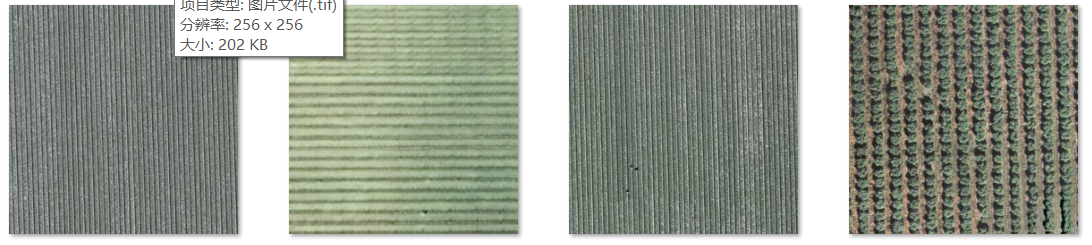
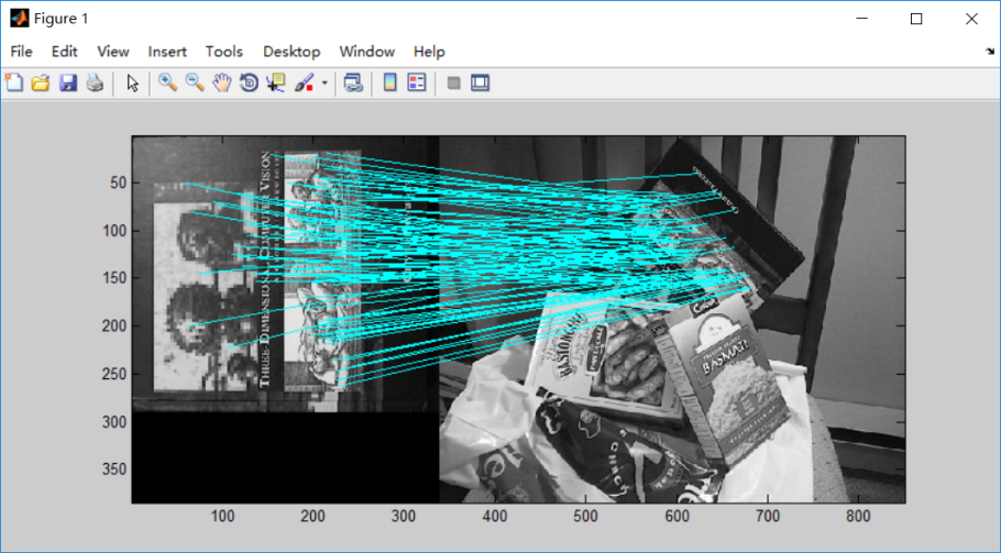
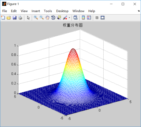
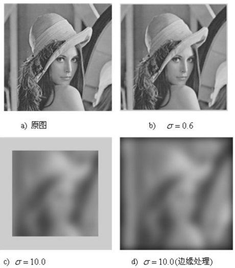
相关图片展示: